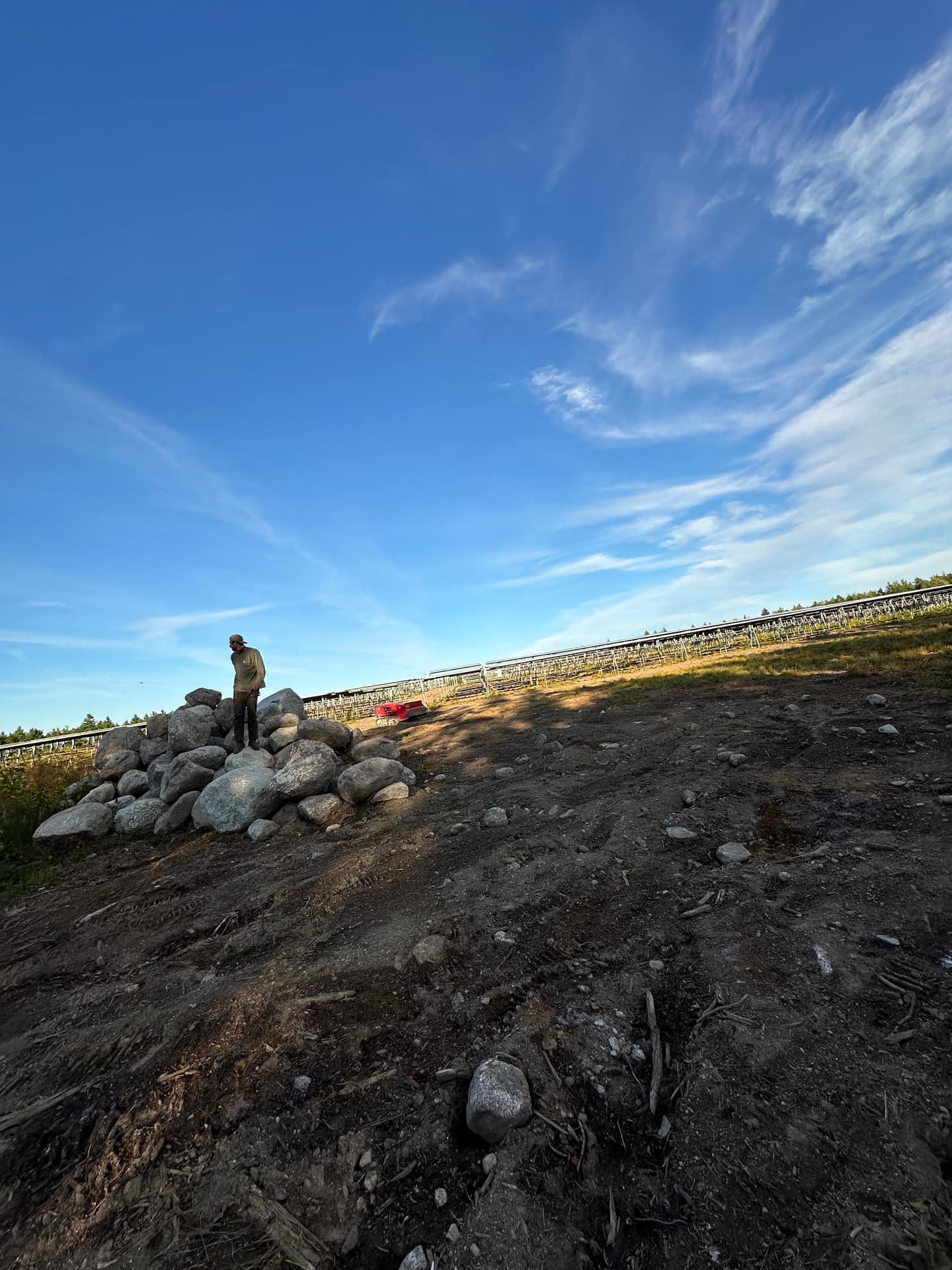
Landscaping & site work in North Yarmouth, Maine.
North Yarmouth is the most rural town we serve on this side of Cumberland: about 4,000 people on 21 square miles, growing from 3,565 residents in 2010 to 4,072 in 2020. Much of it is zoned Farm and Forest at one home per three acres, centered on the village at Walnut Hill. That growth means a steady run of new house sites carved out of woods and fields.
Roughly 87% of homes are owner-occupied, and the median home was built in 1983. Almost everything here runs on a private well and a septic system, which changes how every excavation, lawn and clearing job has to be planned.
North Yarmouth at a glance
- Village
- Walnut Hill; Wescustogo Hill and Walnut Hill are the high ground
- Lots
- Farm and Forest district: 1 home per 3 acres; shoreland lots need 3 acres and 200 ft of frontage
- Water
- Mostly private wells, many drilled into bedrock; Yarmouth Water District wells tap sand-and-gravel aquifers in town
- Drainage
- Most of town drains to the Royal River; Knight's Pond drains to the Presumpscot
- Housing
- Median home built 1983; ~87% owner-occupied
- Hardiness zone
- 6a (2023 USDA map)
Wells, septic and ground that limits them
The town's comprehensive plan notes that most residents rely on groundwater, often from wells drilled into bedrock, and that depth to bedrock, wet soils and erosion limit where septic systems can go on some parcels. That is the practical reality of building out here: a septic field has to fit the site evaluator's design and the ground, and the lawn over it has to come back without heavy fertilizer near a well.
Most land is level to gently sloped, with steeper ground along the Royal River, Chandler Brook, the East Branch and on the two hills. Those stream corridors are protected: the Land Use Ordinance puts setbacks on the Royal River, Chandler, Toddy, Deer and Pratt's brooks, Knight's Pond and the Deer Brook wetland, enforced by the Code Enforcement Officer.
Moving earth and ledge
North Yarmouth treats large soil moves as mineral extraction. Moving more than 100 cubic yards of soil, loam, sand, gravel or rock in the shoreland zone within 12 months triggers those rules, as does anything over 1,000 cubic yards elsewhere in town, and extraction is banned outright in Resource Protection. Blasting ledge takes a permit from the Code Enforcement Officer, with notice to every abutter within 500 feet.
For a house site or driveway, that means the excavation plan and the permits get settled before the machine arrives — cut and fill balanced on the lot where possible, and erosion controls in place before the first scoop.
Lawns, deer and open land
The town maps significant deer wintering habitat, and anyone planting here learns fast which shrubs deer browse. For new lawns on cleared ground, UMaine Extension's advice fits well: four to six inches of topsoil, a pH of about 6.0–6.2, and a seed mix leaning on fine fescues where the soil is sandy, dry or shaded, seeded between mid-August and mid-September.
What we do in North Yarmouth
The work North Yarmouth properties need most.
Land Clearing in North Yarmouth
Opening house sites, fields and view lines on multi-acre rural lots, with debris hauled and ground rough-graded.
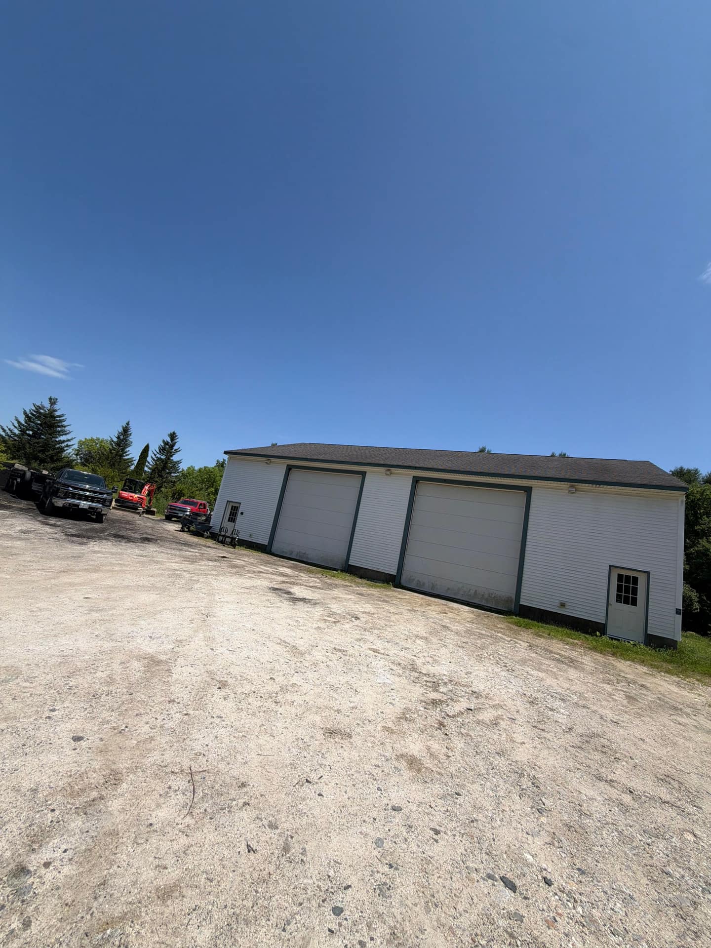
Septic Systems in North Yarmouth
New and replacement systems on well-and-septic lots, installed to the site evaluator's design.
Excavation & Land Clearing in North Yarmouth
Foundations, driveways and drainage for new construction, planned around the town's earth-moving rules.
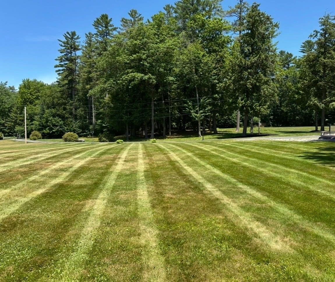
Hydroseeding, Sod & Turf in North Yarmouth
Establishing a lawn on large cleared areas and over new septic fields.
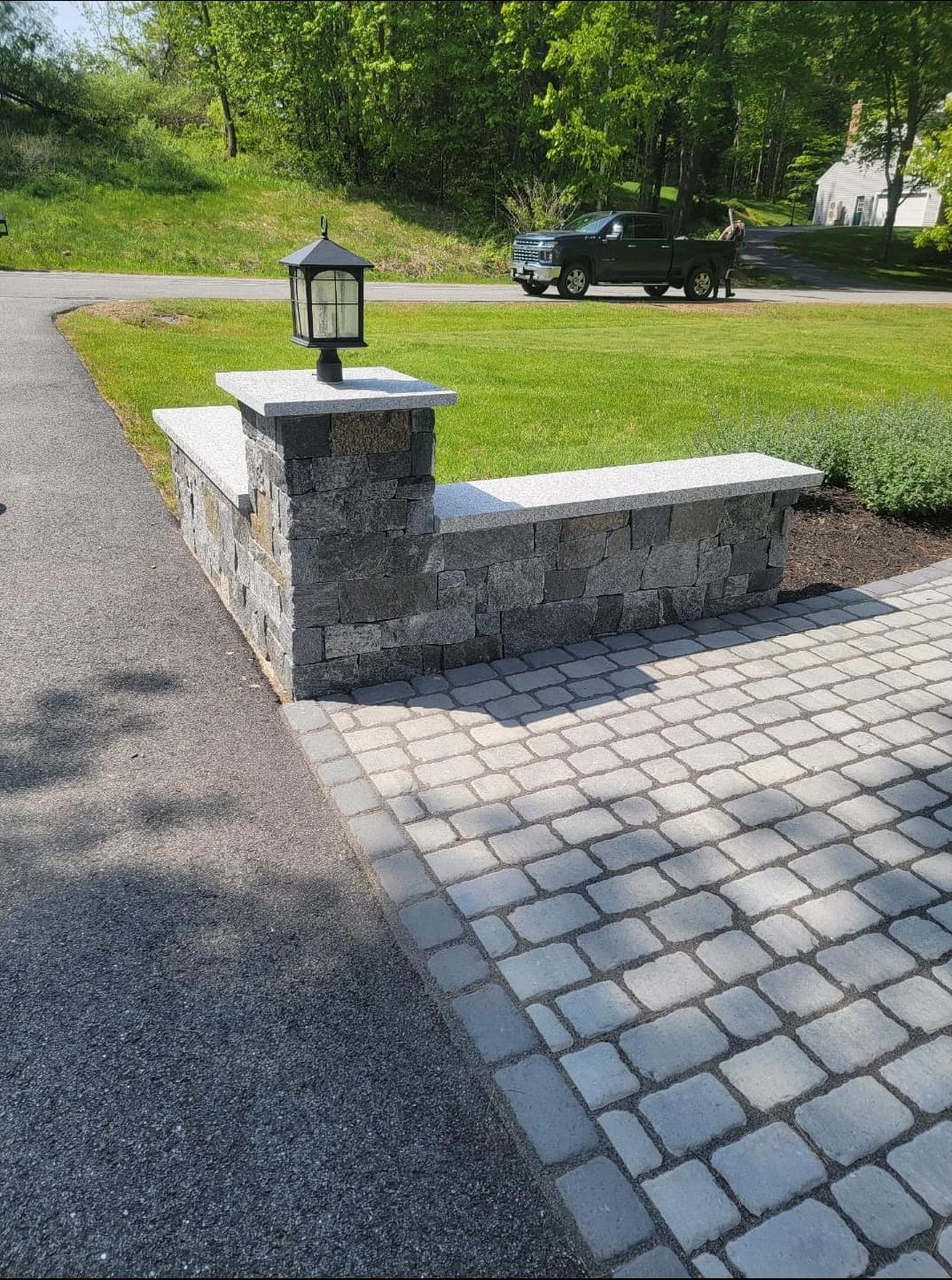
Retaining Walls in North Yarmouth
Holding grade on the steeper ground near the Royal River and the hills.
Also available in North Yarmouth
- Hardscaping in North Yarmouth
- Flagstone & Paver Patios
- Concrete & Foundations
- Commercial Mowing & Cleanups in North Yarmouth
- Landscaping in North Yarmouth
- Fall Cleanup & Leaf Removal in North Yarmouth
- Lawn Aeration & Overseeding in North Yarmouth
- Landscape Design in North Yarmouth
- Planting & Garden Beds in North Yarmouth
- Tree & Shrub Services in North Yarmouth
- Tree Removal in North Yarmouth
- Snow Plowing
- Pressure Washing
Nearby towns we serve
Our crews work all over Greater Portland from Cumberland. See the full service area or jump to a neighboring town:
- Landscaping in Cumberland
- Landscaping in Yarmouth
- Landscaping in Falmouth
- Landscaping in Freeport
- Landscaping in Gray
- Landscaping in Windham
- Landscaping in Portland
- Landscaping in Cape Elizabeth
- Landscaping in Scarborough
- Landscaping in South Portland
- Landscaping in Westbrook
- Landscaping in Gorham
- Landscaping in Standish
- Landscaping in New Gloucester
- Landscaping in Saco
- Landscaping in Biddeford
Sources for the local facts on this page
Planning a project in North Yarmouth?
Request an estimate
Name and phone are all we need to get started. We reply within one business day.
Explore More of Expert Lawn & Landscape
Our Services
Our crews also cover related services across Cumberland and Greater Portland, such as…
Service Areas
You will find our crews in communities including…